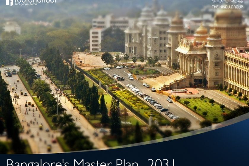
Last November, the Bangalore Development Authority (BDA) made the city’s provisional Revised Master Plan (RMP) 2031 public. A comprehensive document, it outlines the development plan for the city for the next 15 years.
In this article, RoofandFloor takes a look at some of the major highlights of the revised plan.
Population growth
The population is projected to touch 20.3 million in the Bangalore Metropolitan Area by 2031 from the current population of about 10 million. Considering this, the authorities have also proposed to expand the city by an additional 80 sq. km.
This expansion is expected to take place across the five corridors. These include Hosur Road, Mysore Road, Bellary Road, Old Madras Road, and Sarjapur Road. However, when compared to the Masterplan 2015, it is far less. The additional area sanctioned back then was 277 sq. km.
Residential land use
The residential land use has been increased from the existing 212 sq, km. to 424 sq. km. To address the water needs, the current usage numbers have been revised. The gross water demand, including water for non-domestic activities, has been estimated at 4,282 MLD ((Million litres per day) for the projected population of 20.2 million.
Power requirement has also been revised to 4,288 MW against the existing 2,639 MV. For waste management, the projected municipal solid waste generation is expected to touch 13,911 tonnes per day by 2031, as against the existing 6,233 TPD.
New additions
Even as residential areas that have roads less than 41 ft. will no longer be open to commercial activity, the RMP 2031 has allowed ‘some’ small-scale industries in residential areas where road width is between 31-41 ft. This may invite the wrath of resident welfare associations.
National green tribunal
An additional 88.48 sq. km. has been added under the buffer zone near drains, valleys, and water bodies as per orders from the National Green Tribunal (NGT).
Push for public transportation
Traffic in the city has become a nightmare and is only getting worse every passing day. To address this grave situation, for the very first time, a transport model has been developed that covers 500 zones.
Further, the floor area ratio (FAR) around 150 mt. of the proposed Metro corridor has been increased to four from the current two. This increase has been made to assist the Bangalore Metro Rail Corporation to fund their Phase-II project. This is also in line with the new target of increasing usage of public transport from existing 40% to 68-70% by 2031.
Deadline for feedback
Got some suggestions for the BDA? Go ahead and share your suggestions and feedback before January 23. If you still haven’t looked at the revised plan and wondering where to find it, let us help you out. The draft master plan is available on the authority’s website and is displayed at the BDA Complex, Banashankari 2nd Stage.
RoofandFloor suggestions
The Revised Master Plan 2015 failed to keep in sync with the population growth of the city. Now, while the blueprint of the development plan looks great, having some short-term plans rather than decadal ones would make tracking the development easier. We strongly feel that the continuous assessment will ensure that the city is on track with the vision.